Why LineMaps
The map, the tickets, the safety record, and the invoice finally agree.
The usual stack
- A GIS viewer the office has and the field never opens
- Dispatch living in a spreadsheet with seventeen tabs
- Job photos scattered across three group texts
- Paper JSAs signed in the truck, filed nowhere
- Month-end invoicing rebuilt from memory
LineMaps
- One login for the field and the office
- Tickets pinned to the actual infrastructure
- Photos named, required, and attached to the job
- Safety reviews on the record, phase by phase
- The invoice built from what was logged at the pole
Where it came from
Built by a contractor, on real builds.
LineMaps started inside a working OSP contracting company running FTTH construction — aerial and underground, strand to home install. The stack was the usual one: a GIS viewer for the maps, a spreadsheet for dispatch, group texts for photos, paper for JSAs, and a long night at the end of the month turning all of it into invoices.
None of those tools talked to each other, so people became the integration layer — retyping, reconciling, and chasing down what actually happened in the field. LineMaps was built to delete that job: one record of the work, created where the work happens, that every other part of the business reads from.
It's still developed the same way — features get proven on live builds before they ship, and the roadmap comes from crews and dispatchers, not a feature comparison chart.
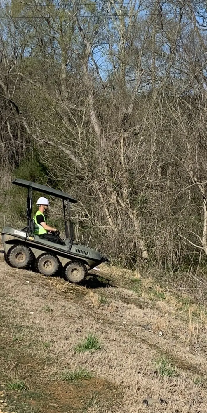
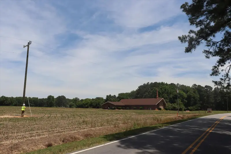
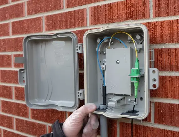
From the builds LineMaps grew up on.
Built in the field
Every workflow was shaped by real crews on real builds — which is why techs actually use it.
Every utility, one system
Fiber, water, wastewater, gas, electric, storm, and roads — the same platform, with symbology and workflows per utility.
Works where crews work
Offline queueing keeps techs moving through rural dead zones; everything syncs when signal comes back.
From the pole to the platform.
LineMaps was built by someone who has done every job on the line.
2014 to 2020
OSP wire technician
Climbing poles and running drops in North Mississippi. Learned what the field actually needs from the office.
2019 to 2021
Project manager, rural broadband
Ran builds where the map, the crews and the invoices lived in different places, and saw the cost of keeping them in sync by hand.
2021 to 2024
Field services manager
Led engineering field teams across the East Coast. Fielding, make-ready and as-built data at scale, in a dozen tools.
2024 to now
Building LineMaps
Running an OSP contracting company and building the system it needed, proven on live fiber builds before anything ships.
Sound familiar?
If you're the integration layer between five tools right now, let's talk. LineMaps goes live December 16, 2026.